Bipartisan, Bicameral Group Introduces Bill to Protect Communities from Landslides
Legislation Will Improve Science and Coordination Needed to Help Communities Prepare for and Respond to Natural Hazards
Today, U.S. Sen. Lisa Murkowski, R-Alaska, Ranking Member Maria Cantwell (D-Wash.), Sens. Patty Murray (D-Wash.) and Dianne Feinstein (D-Calif.), and Rep. Suzan DelBene (D-Wash.-01) introduced bipartisan legislation to help local communities prepare for and respond to landslides and other natural hazards.
The legislation titled, the National Landslide Preparedness Act, will help protect communities and property, save lives and improve emergency preparedness and planning by targeting key gaps in current science and mapping critical to understanding landslide hazards and risks.
According to the USGS and National Research Council, landslide hazards claim 25-50 lives each year and cause between $1.6 and $3.2 billion in damages in the United States. Globally, landslides cause tens of billions of dollars in damages and thousands of deaths and injuries each year.
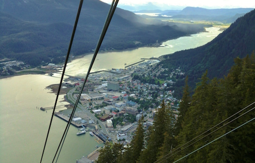
"The 2015 landslide in Sitka, which tragically claimed three lives and caused millions of dollars in damage, is just one example of the many natural hazards that Alaskans face on a daily basis," Murkowski said. "I'm hopeful that this bill will help reduce landslide hazard risks and will speed up the collection of IfSAR data for the state to better prepare and protect our communities moving forward."
“In 2014, we saw how devastating landslides can be with the Oso landslide in Washington state, tragically claiming 43 lives and causing millions of dollars in damages. This bill will help communities prepare and respond to landslides and other natural hazards, which is critical to protecting lives and keeping communities and infrastructure safe,” Cantwell said.
“No community should have to experience the heartbreak and devastation of what the families of Oso, Washington, went through in 2014, especially when we have the technology to better map and defend against landslide risks,” Murray said. “I’m proud to support this legislation so we can better equip communities with the resources they need to save lives, protect property and prevent tragedy.”
“The recent storms in California left us with dangerous landslides that threatened lives, destroyed homes and damaged our roads and infrastructure,” Feinstein said. “Our bill creates a better system for mapping, assessing and improving emergency responses to landslides, mudslides and flash floods. Early detection of these traumatic events will make our communities safer and ultimately save lives.”
“In the wake of the tragic Oso landslide, we learned many lessons, including that lawmakers need to do more to ensure we fund resources and research efforts to prevent future natural disasters from becoming national tragedies,” DelBene said. “Every state in the country faces some amount of landslide risk. Substantial work needs to be done to gain better knowledge of landslides and their potential impacts in order to reduce losses of life and property. It is time that landslide hazards are addressed properly and in a collaborative fashion. Our bill will boost significant scientific progress and help communities better prepare for when landslides do occur.”
Specifically, the legislation would establish a National Landslide Hazards Reduction Program through the U.S. Geological Survey (USGS) to better identify and understand landslide risks, protect communities, save lives and property, and help improve emergency preparedness.
In addition, the bill would also direct the USGS to implement a 3D Elevation Program to update and coordinate the collection of elevation data across the country, using enhanced, high-resolution data. Enhanced elevation data are critical for numerous reasons—to help communities plan for and respond to natural hazards; to update the nation’s topographical maps; and to inform a myriad of uses including public safety, national security, planning, infrastructure, transportation, agriculture and natural resource management.
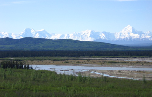
High-resolution elevation data has been collected for only about a quarter of the United States. Much of the country relies on data collected more than 30 years ago using older techniques that do not provide the same resolution and benefits. An ongoing federal-state partnership has collected such data for about three-quarters of Alaska—an accomplishment that is an example for the rest of the country. According to an assessment conducted in partnership with the USGS, the creation of a nationwide program, as outlined in this bill, has the potential to generate $1.2 billion to $13 billion annually in new benefits.
Murkowski is chairman of the Committee on Energy and Natural Resources.