Murkowski, Baldwin, Young, Ruppersberger Introduce Bill to Help Coastal Communities Prepare for Storms, Floods
Senators Lisa Murkowski (R-AK) and Tammy Baldwin (D-WI) along with Congressmen Don Young (R-AK) and C.A. Dutch Ruppersberger (D-MD) today introduced bipartisan, bicameral legislation that will help local and state governments protect the country’s 95,000 miles of shoreline.
The Digital Coast Act allows professionals at the National Oceanic and Atmospheric Administration (NOAA) to begin a comprehensive mapping process of the nation’s shorelines. Coastal communities will be able to use the data to prepare for storms, manage floods, restore ecosystems and plan smarter developments near America’s coasts, harbors, ports and shorelines.
Geospatial mapping information can be complicated, expensive to collect, and difficult to use without in-house expertise. NOAA will also train decision-makers at the local and state level on how to use the datasets to answer questions about storm surge, erosion, and water level trends. The data will also be available on NOAA’s website for free and easy public access.
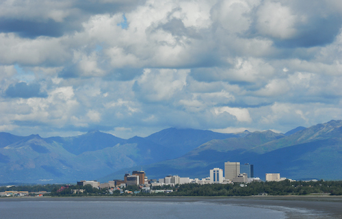
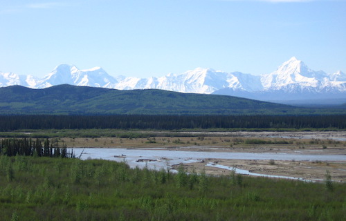
“Alaska is facing significant shoreline erosion, threatening coastal communities, infrastructure, and ecosystems. But until recently, our understanding of the extent of this challenge has been poor, inhibiting our ability to develop effective solutions,” said Senator Murkowski. “By comprehensively mapping and surveying our coastline, we can ensure we have readily accessible and up-to-date tools for coastal management, planning, and disaster response. Along with my ocean data bill, the BLUE GLOBE Act, the Digital Coast Act helps give us a stronger understanding of what’s happening along our shorelines and underneath our waters. For a state with more shoreline than all of the other U.S. states combined, what we do with that information is our next challenge.”
“Wisconsin’s Great Lakes are a great asset for our quality of life and also for our long-term economic security. Our shoreline communities face a variety of challenges to keep their harbors open, their waters clean and their beaches ready for visitors,” said Senator Baldwin. “This bipartisan legislation is about making sure our coastal communities have the resources and tools they need to adapt to changing environmental conditions, maintain healthy shores and make smart planning decisions to support their local economies and way of life.”
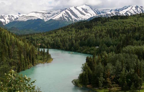
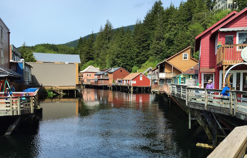
“No other state in the nation understands the need for coastal resilience and mapping more than Alaska,” said Congressman Young. “With more than 44,000 miles of coastline, much of which is not fully mapped, Alaska’s coastal communities rely heavily on our waterways and shipping channels to support all forms of social and economic prosperity: goods from the lower 48, critical transportation needs, search and rescue operations, and the state’s largest private sector employer – our fishing industry. The Digital Coast Act is an important step towards developing a system that supports our coastal communities with up-to-date and reliable information on our coastlines and weather conditions.”
“America’s fragile shorelines are home to more than half of our country’s population and millions of businesses that supply most of our gross domestic product,” Congressman Ruppersberger said. “Yet current coastal maps and geospatial data are woefully inaccurate, outdated, or even nonexistent. The Digital Coast Act will give local planners and managers the high-tech data they need to make accurate decisions and smart investments that could save people and property.”
Background:
- Senators Murkowski and Baldwin previously introduced the Digital Coast Act during the 114th and 115th Sessions of Congress where the bill passed the U.S. Senate with unanimous consent.
- This is the sixth time Representatives Young and Ruppersberger have introduced the Digital Coast Act in the U.S. House of Representatives since 2010.